Pictorial map of Glasgow, early 1960s

Thanks for posting. Excellent find. However, my guess is that the map is later than early ’50’s. Firstly, Sir Basil Faulty’s (sic) flats in the Gorbals were built 60-62. Secondly, didn’t the trams stop running in the autumn of ’62? If so, that is why trams are not shown on the map. Possibly 63 or 64? Who can give a more precise answer?
I agree its later than the fifties, 10pin bowling only became populat here in the mid sixties, re the Hampden Bowl, I remember it being there 1966 onwards.
 
First home was a room and kitchen and outside toilet in Partick. No hot running water. Used to have a tin bath in front of the fire. There were some great shops on Dumbarton Road. The good old days.
 
Thanks Mark

A fantastically interesting post !

Is there any way you could create a downloadable item/file for these pictures which I, for one, would be delighted to have - a donation to FF or RFC ?
The files are already downloadable.

On a computer right click and press save as
On a phone press and hold each picture, and save
 
Thanks for sharing Mark.
Brings back memories of family members who worked at the shipyards abd my grandma’s house on Crossland Place off Crossland road in old Govan.
 
Great memories of old Glasgow. No motorway or Express way.
Night games pre motorway to Edinburgh via Alexander Parade from the west end were a bit of a nightmare.
 
gn21.png


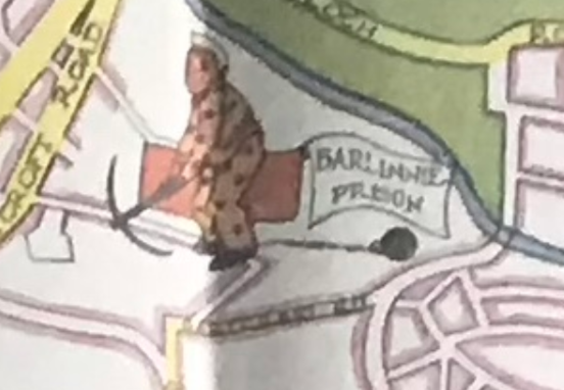
A ball and chain and a pick.
Nowadays it's a large screen TV and a smart phone.
 
The files are already downloadable.

On a computer right click and press save as
On a phone press and hold each picture, and save

Thank you for that I hadn't realised that was possible.

Just reminds me of my early days which I am happy to recall. :)
 
Back
Top